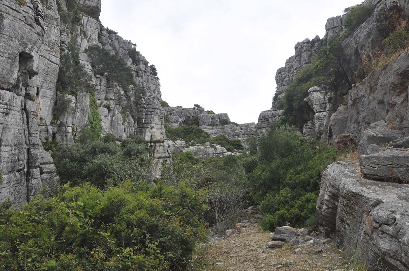
Route 9: Canuto de la Utrera
Distance: 2.9 miles
Duration: 2.5 hours
Min.Height: 135 feets
Max.Height: 890 feets
Level: Difficult
Conditions: Relatively short distance but some very uneven surfaces, some steep slopes, some large rocks to negotiate in the Canuto, 755 feets ascent/descent.
GPS TRAIL

This linear route is 2.35 km long and goes from the starting point at the A-377 road to the Baños de la Hedionda. This path goes through one of three fluviokarstic canyons of the Sierra de la Utrera. The access to the last part of the trail, the narrowest section near the Baños, is only allowed from July to November to protect the bird nesting on the canyon walls. This narrow section near the Baños is also the most difficult hiking part. On the contrary, the beginning of this route, close to the A-377 road, is an easy way to approach the extraordinary landscape of Canuto without access limitations. This is a perfect route to appreciate the extraordinary beauty of this natural space: a karst sheltering rich biological, geological, paleontological and archaeological heritages that gives a unique characteristic to this landscape.
CASARES’ HIKING TRAILS
Tourist information
→ Go to homepage
2020 –
© Ayuntamiento de Casares
Design: Acaire S.Coop.And.
Centro de Iniciativas Turísticas de Casares
